May 7, 2026 · 7 min read
A Pacific Coast Highway Coast Run Through Orange County
A Pacific Coast Highway drive through Orange County from the passenger seat, Sunset Beach to Dana Point, named coves, Cars & Coffee, and parking tricks.
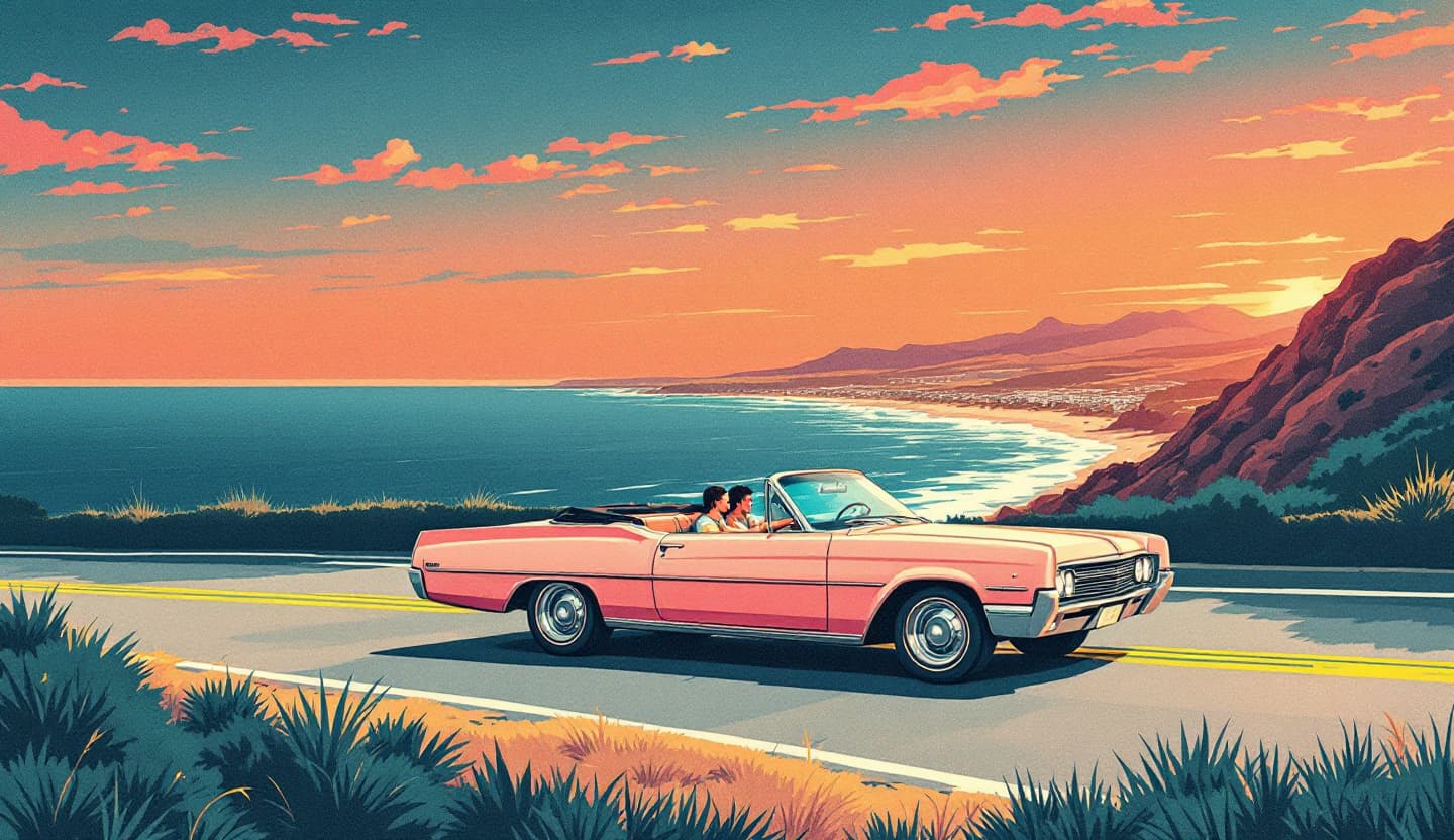
A Pacific Coast Highway Drive Through Orange County, From the Passenger Seat
Here is the thing most PCH guides get wrong: in Orange County, Highway 1 doesn't run all the way to San Clemente. State Route 1, the actual, signed Pacific Coast Highway, ends at the I-5 junction in Dana Point. The pretty coast road you keep driving south through Capistrano Beach and San Clemente is the old US-101 alignment, now called El Camino Real / Coast Highway. It's a great bonus leg, but it isn't PCH. So the honest frame for this drive is Sunset Beach down to the Dana Point Headlands, with San Clemente as an optional old-101 coda, which happens to be where the best car meet on the whole coast lives.
Drive it southbound. Because the OC coastline faces south and southwest, going north-to-south puts the ocean on your right, the passenger side, for most of the run. Not all of it: through central Newport the road swings inland of the harbor and Back Bay and the open Pacific drops out of view for a while. But for the stretches that matter, southbound is the side you want the window down and the camera up.
Start with cars, not coffee
If you're reading a passenger-ride blog, you already care about the cars. So bookend the drive with a meet.
- South OC Cars & Coffee at The Outlets at San Clemente, Saturdays, 9–11am, 101 W Avenida Vista Hermosa, San Clemente. It bills itself as the world's largest weekly car show and routinely pulls 1,000–3,000 cars: hypercars next to '60s muscle next to a clapped-out 240 someone clearly drives every day. Free, no registration, spectators welcome. Cars roll in well before the official start, so get there closer to 8 if you want to walk it before it's wall-to-wall. It sits at the literal south end of this route, the easy play is to walk the meet at dawn, then point north up the coast.
- Exotics & Espresso in Irvine, Saturdays, 9–11am, 7535 Irvine Center Dr. The inland sibling, leaner and more exotic-heavy, a quick hop off the 405 if you're starting from the north end instead.
Times and turnout shift, so check each meet's Instagram the night before. For the full rundown of where the scene gathers, our Cars & Coffee in Orange County guide maps the weekly meets.
The coast, north to south, with the actual stops
Sunset Beach to Huntington
The real northern start is Sunset Beach sliding into Seal Beach, whose short Main Street and pier are worth a coffee before you commit. South of there PCH straightens out through Huntington Beach past the pier, a wide, flat cruise, not a view stretch. Use it to settle in.
Newport Beach, and the detour worth taking
Through Newport the highway runs inland of the harbor, so the postcard ocean isn't actually on PCH here. The move is to peel off into Corona del Mar and find Lookout Point and Inspiration Point on Ocean Blvd (around 3001 Ocean Blvd, the two are a five-minute walk apart). Free street parking, bluff-top benches, and a clean panorama over Big Corona, the harbor mouth, and Catalina on a clear day. Below Lookout Point is Pirate's Cove, sea caves, calm water, and the beach where parts of Gilligan's Island were shot. This is the great free sunset pullout most PCH lists skip entirely.
Crystal Cove, do it right
This is the scenic high point, but only if you know the trick. Park at the Los Trancos lot (PCH at Newport Coast Dr; ~444 spaces, day-use fee, fills by mid-morning on weekends), then walk the pedestrian tunnel under PCH to reach the 1930s–40s Historic District cottages on the sand. The local move is sunset drinks or dinner at the Beachcomber Café right on the beach, book ahead, it's not a walk-up on weekends. Heads-up: the tunnel closes when it rains, so check conditions if the marine layer looks heavy. The free boardwalk overlook up at Pelican Point is the bluff vantage to shoot from if you'd rather stay up top.
Laguna Beach, name the coves
Laguna's roughly seven miles of coast hide around 30 pocket beaches, and "a dozen coves" without names helps nobody. The ones worth the stairs:
- Crescent Bay, descend from Crescent Bay Point Park; tide pools and a clean crescent of sand.
- Woods Cove and Moss Cove, quiet, good for poking around the rocks and snorkeling.
- Victoria Beach, home of the Pirate Tower (La Tour, a 60-foot 1926 staircase tower), the single most-screenshotted spot in Laguna. It's only accessible at low tide, so go in the morning and check the tide chart first.
- Heisler Park, the easy one: bluff-top paths and overlooks with no stairs required.
Parking in town is brutal at peak; the free Laguna Beach Trolley loops the coast on weekends and through summer, which beats circling for an hour.
Dana Point, the actual end of PCH
This is where Highway 1 signs off at the 5. Stop for the PCH Monument, the tower with the big "PCH" letters that marks the southern terminus, and walk the Headlands trail system (about three miles of bluff path and overlooks above the harbor). Strands Beach has a clifftop overlook and a public funicular down to the sand, its operating schedule has been spotty, so check current status before you count on it. The harbor itself is mid-revitalization, so expect construction down there for a while.
The San Clemente coda
Want to keep going? The old-101 road south through Capistrano Beach to the San Clemente Pier is a mellow surf-town finish, just know you're off PCH proper now. And if it's Saturday morning, this is exactly where Cars & Coffee is.
When to go (the real version)
"Golden hour" is the lazy answer. Two specifics that actually matter on this coast:
- June Gloom is real. Late spring and early summer, a thick marine layer (May Gray / June Gloom) often sits on the coast until midday, so a "golden morning" drive can be a flat gray one. Check that it'll burn off before you bank on light.
- Weekend lots fill by ~10am. Crystal Cove and the Laguna coves are gone by mid-morning on a Saturday. The sweet spot is a weekday late afternoon into sunset: light over the water, lots half-empty, and PCH not crawling through the beach towns.
A note for the car people: PCH is a cruise, not a driving road
Be honest about what this is. OC's PCH is for the view, it's slow, straight in the cruise stretches, and clogged on weekends. If you came to actually drive, the real roads are inland: Ortega Highway (SR-74) climbing east out of San Juan Capistrano toward Lake Elsinore with 25-plus miles of curves (respect it, it has a deadly reputation and nicknames like Dead Man's Curve), plus Santiago Canyon Road and the Silverado/Modjeska canyons. Our pillar guide to the best driving roads in Orange County maps those properly. PCH is for the coast; the canyons are for the corners.
Why the coast is better from the right seat
A coastal drive is about the looking, and the driver doesn't get to. Behind the wheel you're tracking cyclists, brake lights, and the next person hunting for parking while the Pacific slides by on your right. Ride shotgun and that flips, you watch the water, take the photo, and let someone who knows the road handle it.
That's Shotgun. A shotgunner reserves the passenger seat in an owner's car, a drop-top for the coast, a vintage cruiser, whatever's worth the miles, for a real drive on a real road. Not a self-drive rental; you ride, the owner drives. We're pre-launch in Orange County, with first seats opening this year, and every ride will be fully insured 100% once seats open, the car, the owner, and you.
Save your seat
PCH ends at Dana Point, the coves have names, the meet's at nine. First seats open this year in Orange County, claim yours and we'll reach out the moment they do.
- Shotgunners: Save my seat
- Owners: Become a host
New to the idea? Start with where to ride in a supercar in Orange County, as a passenger. More route stories on the Shotgun blog.