May 16, 2026 · 8 min read
Ortega Highway: A Canyon Run From the Passenger Seat
Ortega Highway scenic drive (SR-74) local guide: the Cariso Grade switchbacks, the candy store stop, the Sunday meet, the 2026 closures, and why it's best shotgun.
Ortega Highway: A Canyon Run From the Passenger Seat
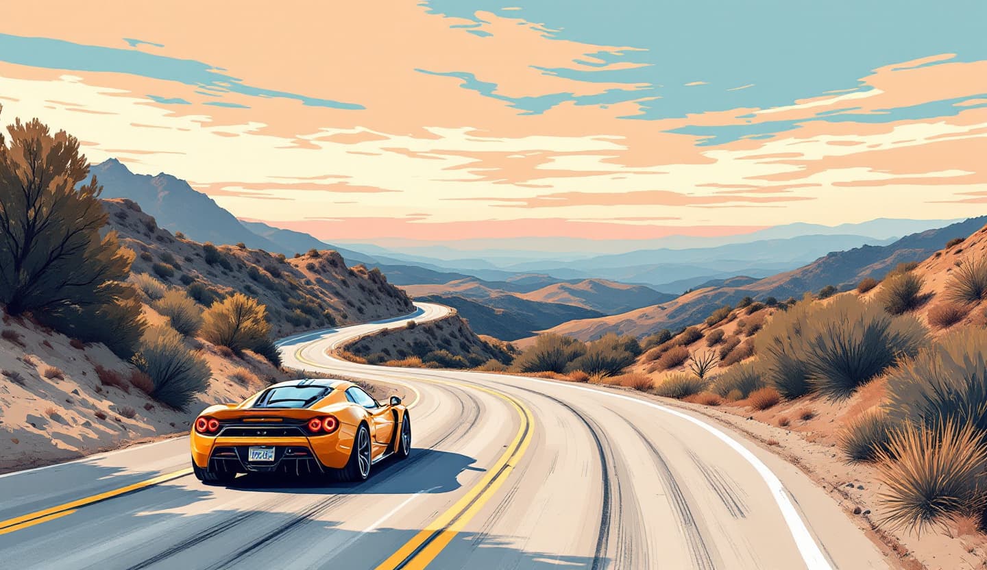
SR-74, Ortega Highway, is the canyon road Orange County enthusiasts name first: a two-lane run from San Juan Capistrano over the Santa Ana Mountains and down into Lake Elsinore. It's also one of the most dangerous roads in California, and as of 2026 it's an active construction zone. So before you point a car at it, here's the part most guides skip: where the real corners are, where to stop, when to go, and what's currently closed.
What the road actually is
Ortega is the local name for the western stretch of State Route 74. It starts at Interstate 5 in San Juan Capistrano, follows San Juan Creek east, then climbs through Rancho Mission Viejo, past Caspers Wilderness Park, into Cleveland National Forest and the community of El Cariso before dropping the eastern face into Lake Elsinore in Riverside County. It's named for Sergeant José Francisco Ortega, a scout on the 1769 Portolá expedition (the highway got his name around 1929). The whole run is roughly 28 miles, two lanes the entire way.
Here's the correction worth making, because nearly every write-up gets it backwards: the gentle part is the west side out of San Juan Capistrano, medium-speed, undulating curves following the creek. The signature section, the one people film for POV videos, is the east side. It's called the Cariso Grade: roughly a 1,700-foot climb in about four miles with 27 turns, stacked switchbacks and blind, off-camber curves climbing out of Lake Elsinore to the summit near El Cariso (the road tops out somewhere over 3,000 feet up there). That east descent is also the stretch CHP flags as the deadliest. If someone tells you the hairpins are the climb out of SJC, they haven't driven it.
The right car for it is something light and balanced, an MR2, a 911, a well-sorted Miata, a GT3. It's a brakes-and-rhythm road, not a horsepower road. It's also exactly the kind of road, and the kind of car, that's better felt from the passenger seat of a supercar in Orange County than from behind an unfamiliar wheel on a blind crest. We put it at the top of our best driving roads in Orange County roundup for a reason.
Before you go in 2026: it's a construction zone
This is the single most important thing to know right now, and it's why "just go early" isn't enough this year.
Caltrans and Granite Construction are mid-way through an $88 million widening and safety project on the Lake Elsinore stretch of SR-74, running from roughly April 2025 into November 2026. That means overnight full closures (typically 10 p.m. to 5 a.m.) and, on some weekends, 55-hour full closures of the route. They're widening shoulders, adding rumble strips, and resurfacing.
There's a real local-grief angle to it, too: shotgunners who've run this road for decades aren't thrilled that the rebuild smooths blind curves and adds K-rail barrier that blocks the view. The road you've seen on YouTube is literally being changed as you read this.
Check status before you commit a morning to it. A community-run tracker at istheortegaopen.com monitors the live SR-74 status, and Caltrans QuickMap shows active closures. Don't drive 40 minutes to a 55-hour gate.
The stops that matter
Ortega Oaks Candy Store (34950 Ortega Hwy)
For 40-plus years this was the de facto checkpoint of the whole road, the place the car and bike crowd rolled up to for handmade chocolate-covered honeycomb, peanut butter cups, and jerky. It also doubled as the spot where you bought your Forest Adventure Pass for the trail across the street.
The honest 2026 update: it's currently listed as CLOSED (Yelp, as of spring 2026), and locals have been mourning it. If it's reopened by the time you read this, great, but check their Instagram or call ahead rather than counting on it. This is the kind of landmark a real local mentions first, so don't be surprised if old guides still treat it as a sure thing.
San Juan Loop Trail (across from the candy store)
The hike locals actually do here is the San Juan Loop, a ~2.1-mile loop with the trailhead directly across Ortega Highway from the candy store. You need a Forest Service Adventure Pass to park (historically sold inside the candy store; there are a few free spots tucked behind it). It's the easy, shaded, do-it-with-friends option.
Ortega Falls
Different from the loop and often confused with it: Ortega Falls is a short, steep scramble from an unmarked turnout roughly a mile and a half north of the candy store. Worth knowing the reality, it's usually a dry trickle and only genuinely runs for a day or two after winter storms. San Juan Creek is the same story: dry most of summer and fall.
El Cariso Village and The Lookout
El Cariso has the Forest Service visitor center and the El Cariso Nature Trail, and it's the last real waypoint before the eastern drop. It took a hard hit in the 2024 Airport Fire (which burned over 23,000 acres through these mountains), so expect some businesses still recovering or gone, the old Hell's Kitchen biker bar burned years back and has been a rebuild saga; verify what's actually open before you plan a fuel-and-food stop around it.
A couple of miles on, The Lookout roadhouse sits about 1,500 feet above Lake Elsinore on the eastern side, with a sweeping view over the largest natural freshwater lake in Southern California. It's the classic weekend magnet for car and motorcycle crowds, and it's on the Cariso Grade, so it's right in the construction corridor.
The timing trick
"Go early" is the right instinct, but here's how locals actually do it. There's a recurring Cars & Café meet in San Juan Capistrano (Sunday mornings, roughly 8–10 a.m., at River Street Marketplace) that doubles as the staging point for a canyon run. The real insider move is the pre-meet: people gather at the O'Reilly lot at 31863 Del Obispo St around 7:00 a.m. and a caravan rolls out about 7:30. Motorcyclists have run Ortega at first light on Sunday mornings for decades, early enough that locals call it "crowded" if they see more than a couple of cars. Dates and times shift, so check the organizer's Instagram for the next one.
Whenever you go: avoid summer weekend afternoons, when heat, the bike crowd, and turnout congestion all peak at once. And fuel up in SJC and download offline maps before you climb, there's no gas and patchy-to-no cell service for long stretches up top. After any rain, expect mud and rockslides; the 2024 burn scars make the slopes above the road more slide-prone than they used to be.
The safety part, with a real number
You can't write about Ortega without this. It carries grim nicknames, Blood Alley, Ricochet Alley, Dead Man's Curve, and it's regularly ranked one of California's deadliest roads, especially for motorcyclists. A concrete figure instead of vibes: CHP recorded roughly 75 motorcycle collisions on the road across 2007–2008, about a third of them speed-related, and fatal crashes have continued through 2023–2025. The posted speed limit is 55 mph (that's the law on SR-74, not a suggestion), and the Cariso Grade is where steep grade plus blind curves stack the odds.
None of that means skip it. It means respect it, and it's a big part of why this particular road is better as a passenger.
Why ride it instead of drive it
On Ortega, a driver in an unfamiliar car spends the whole canyon managing risk: reading strange brakes, guessing at blind corners, watching for the bike coming over a crest. You miss the road. Riding shotgun flips that. The owner knows which corner tightens, where the sand collects on the Cariso Grade, when to ease off, and you get the part that actually matters: the engine winding through the switchbacks and the lake opening up below on the descent.
That's what Shotgun is. You reserve the passenger seat beside an enthusiast owner for a real drive on a real road, not a self-drive rental. The drive was already happening; you're along for it. The owner never hands over the wheel, and once we launch, every ride will be insured 100%, the car, the owner, and you. First seats open this year in Orange County. (New to the idea? Here's what it means to call shotgun.)
Save your seat
Ortega is out there, even mid-rebuild, and so are the cars that were built for it. First seats open this year in Orange County. Claim yours and we'll reach out the moment they do.
- Shotgunners: Save my seat
- Owners with a canyon car: Become a host
More OC route stories on the Shotgun blog.